Forecast Updated on Sunday, January 5, 2025, at 5:30am by WBOC Chief Meteorologist Mike Lichniak.
Today: Starting mostly sunny with increasing clouds expected throughout the afternoon and evening hours. Highs: 30-37. Winds: N 10-20+ mph.
Tonight: Mostly cloudy with snow overspreading the area after midnight. Lows: 24-30. Winds: W-SE 5-20+ mph.
Monday: We will be in the midst of our first winter storm of the season. Signs point to a hodgepodge of snow, sleet, freezing rain, rain across the area with a transition to plain snow before the storm departs by the evening. Highs: 29-37. Winds: SE-NE 10-30+ mph.
Monday Night: Everyone transitions back to snow as the storm tapers off through the evening and early overnight. Turning windy. Lows: 15-25. Winds: NE-NW 15-35+ mph.
Tuesday: A few lingering snow showers are possible in the morning before we gradually clear things out. Windy. Highs: 28-34. Winds: NW 15-40+ mph.
Wednesday: Partly to mostly sunny and windy. Highs: 26-32. Winds: NW 15-30+ mph.
My write up about the forecast for today is a quick one. We start to see the clouds on the increase throughout the day on Sunday with temperatures only climbing up into the mid 30s and fall into the 20s throughout the evening with the clouds on the increase throughout the day.

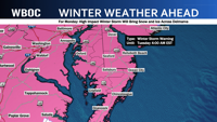
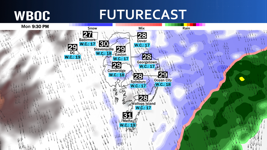
Winter Storm Warnings have been issued for all of Delmarva for Monday as we see our first major winter storm in the region since 2022. The snow should start to overspread the region by midnight tonight and continue throughout the night as the cold air locks in across Delmarva at the surface with the wind quickly turning from the southwest to the northeast as we wake up on Monday morning.

The snow will be around for the majority of us as we wake up on Monday morning, but this is when we will start to pay attention to a tongue of warm air that will push toward Delmarva.

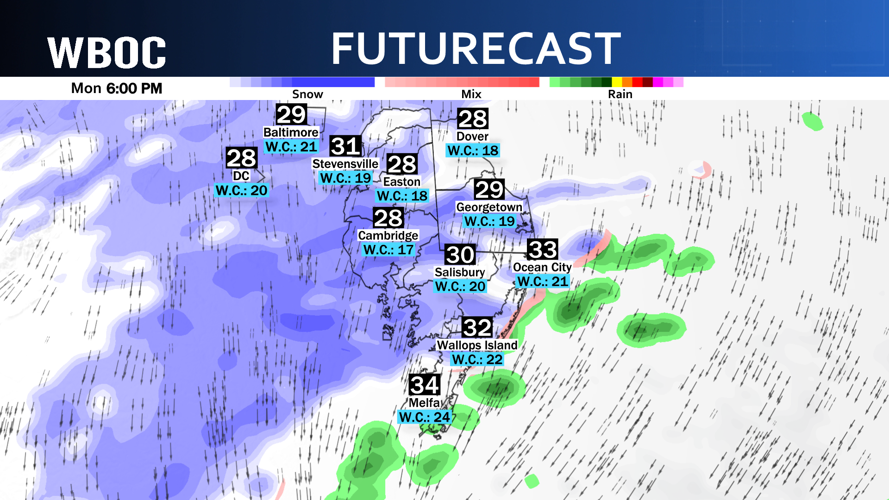
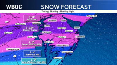
This warmer air in the low to mid levels of the atmosphere will provide us the opportunity to turn over to a wintry mix of snow / sleet / freezing rain / maybe even plain rain the farther south you go across Delmarva. From Salisbury and to the north…the majority of this storm will be just plain snow and some of us are going to get a significant amount of snow throughout the day on Monday.

As the storm begins to depart in the evening hours of Monday, the wind will shift again more north and northwest.

The cold air returns across southern Delmarva and will allow all of us to change back over to snow before the precipitation begins to end in the first part of the overnight on Monday night.

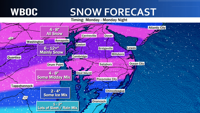
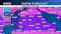
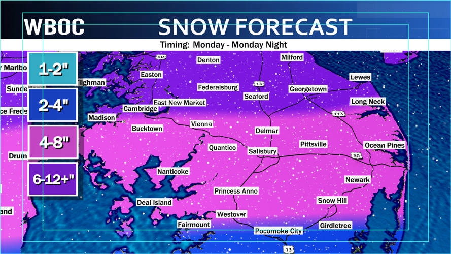
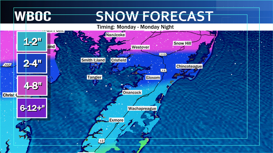
On average, we will pick up on a general 4-8” of snow across a good chunk of the Peninsula.


There will be a sweet spot across central Delmarva where there will be 6-12+ inches of snow where we expect to see the band of heaviest snow set up. This band will provide us with heavy snow to the rate of 1-2” of snowfall per hour at times in the mid to late afternoon hours at the height of the storm. The farther north you live…the issue will be the lack of moisture reaching that far north. This is why you are in the 4-8” range with lower amounts as you get closer and closer to Philly. In Accomack county, we are considering all the mess you will see and think that 2-4” of snow is all you will see on top of all the sleet / freezing rain / rain you should receive with this storm.
Here is the bad news: everything that falls on Monday will freeze Monday night as temperatures plummet behind this storm. Highs will be in the 20s and low 30s for highs much of next week. Oh, and for all us snow lovers...we may need to be ready to have another possible snowstorm for Friday into Saturday.


