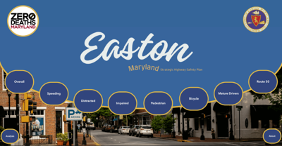
EASTON, MD– The Town of Easton announced the launch of the Easton Interactive Traffic Dashboard (EITD) – a tool designed to help drivers navigate traffic data.
The web-based interface is available on the Easton Police Department’s website and uses Geographic Information System (GIS) technology to provide sortable traffic data from local law enforcement agencies going back to 2018.
Town officials say information can be filtered by the type of traffic incident, location, date range and agency.
Crash data comes from the Maryland State Police Automated Crash Reporting System, according to a press release.
The interface was built by the Washington College GIS Program and MDOT’s Motor Vehicle Administration Highway Safety Office.
EITD is part of the Strategic Highway Safety Plan (SHSP) currently under development in Easton, aligning with the Maryland Department of Transportation’s (MDOT) ‘Zero Deaths’ initiative.
A live demonstration of the dashboards functions will be live-streamed and recorded at Easton’s Town Council meeting on July 15 at 5:30 p.m., according to a press release.


